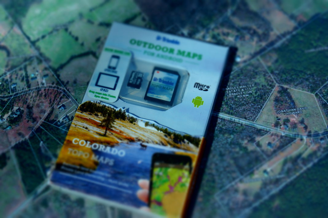
Trimble has developed enhanced mapping-in-layers technology, which allows you to superimpose a layer of information (such as county roads, national forest boundaries, or hunting units) over a topographical or aerial-view map. Now the technology takes an important step further with the ability to identify ownership of adjoining properties to your location. Have you always wanted to hunt across a fence line, but never knew who owned the property? Perhaps you wanted to access a section of landlocked public land but couldn’t find the property owners for access. This app will provide you with the info you need.
“Before today, private ownership maps were difficult to obtain, often involving a trip to the local tax office and working with a GIS professional,” said Kevin Toohill, general manager of MyTopo. “We have made it easy to access publicly available private land data. Add the information to a topo or aerial map, and order a print for next-day delivery right to your doorstep.” Check out these great mapping solutions at mytopo.com or call (877) 587-9004.


![The Best Deer Camp Chili [VIDEO] Deer Chili Ingredients, Tomatoes, Chili Spices](/wp-content/uploads/2015/10/Deer-Chili-Deer-Camp-Recipe-218x150.jpg)


![How to Call Elk Early in the Season [VIDEO]](/wp-content/uploads/2016/08/byers003-218x150.jpg)


![Idiots Disturb Hunter: How Would You Have Handled It? [VIDEO]](/wp-content/uploads/2015/10/DSC00110-e1474487693878-100x70.jpg)
![Albino Buck Shocked to Shed His Antlers [VIDEO]](/wp-content/uploads/2015/10/AlbinoDeer-100x70.jpg)